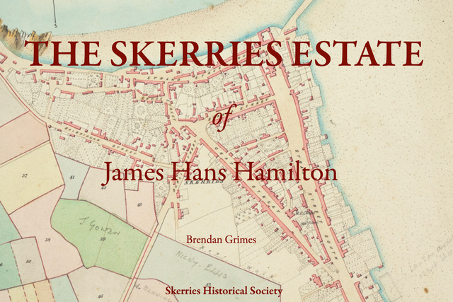
By Brendan Grimes
It was a wild night for the Skerries Historical Society presentation by Brendan Grimes. Luckily for the sixty odd people who attended, it was by Zoom and nobody had to venture out into the vicious wind. Instead, Brendan transported us back nearly two hundred years to the mid nineteenth century – where surely the sun always shone – in his talk, ‘The Skerries Estate of James Hans Hamilton.’ The talk was mostly based on maps, the earliest of which was probably made around 1831, when Mr Hamilton reached the age of twenty-one and was old enough to manage his own estates. The later map was made in 1861 nearer the end of his life.
Let’s look at the maps. Watercolour was used to transform the merely useful – details of field and plot boundaries, locations of houses and outhouses – into beautiful works of art. Trees and bushes were painted in and you can see where formal gardens have been laid out, for example in the grounds of Hacketstown House. The 1861 draughtsmen have even taken the time to embellish the north points on some of the pages with little pen sketches showing sailing or rowing boats on tranquil waters close to untroubled shores.
The streets of Skerries have changed since the 19th century. The main thoroughfare at that time was Chapel Street. The South Strand was just a tiny open area near where the mill stream flows into the sea. The promenade we now take for granted and which is so necessary to us as an escape from lockdown, did not exist. Instead, the gardens of the houses on the south side of Great Strand Street ran right down to the high-water mark.
Quay Street was known as North Strand Street and Harbour Road was The Quay. In the 1830s Thomas Hand had not been born and the street that now bears his name was Dublin Street, though by 1861 it was called Strand Street. With Great Strand Street and North Strand Street, surely that was too many variations of Strand Street? But Little Strand Street was known as Monoughan’s Lane on the 1830s map and Rooney’s Lane on the 1861 map.
New Street was only a tiny alleyway without any houses – though James Hans Hamilton was involved in developing it later in his life. Balbriggan Street was called John Street, The Square was Rats Row and the area we now know as The Hoar Rock was designated ‘Strand and Passages or Bawn Bog’. There was a tiny area near where Prosper Fingal now stands which was named ‘Shambles’. This may have been the location of Skerries fish market.
There are lots of tiny passages and alleyways all around nineteenth century Skerries and Brendan was able to show us that many of them have survived. Cross Street is more than an alleyway but it stands out as having a lovely tree growing in the middle of it, right outside where The Gladstone now stands – though it seems to have been cut down by 1861. Roads were not dedicated to traffic as they are today: cottages were built wherever there was space. And if that happened to be in the middle of the street, well, people would have to go round. Perhaps it would do us no harm to remember that it’s possible to live life at a slower pace!

